Maps / Guides
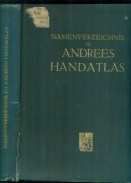
Lipsko, nedatováno. Kniha je v němčině, obsahuje mnoho kreseb.
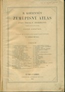
Neubert a Synové, Praha 1947.


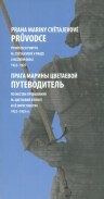
Text in Czech and Russian. Centrum M. Cvětajevové, Praha 2013.
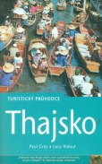
JOTA, Brno 2001.Průvodci Rough Guides.
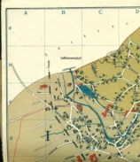
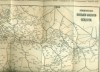
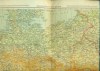
Travel links in Europe / Rail and automotive lines of the Czechoslovak Republic, without date.
Map of the Großdeutsches Reic. edit: Dr.K.Kuchař a Dr.Jaromír Janka. Nákladem grafických uměleckých závodů Praha 1942.
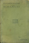
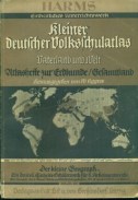
The school atlas in the German language contains a set of 23 maps. Vienna 1902.
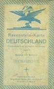
Text in German. Flächenkolorit mit politischer Gliederung. Scale 1 : 2 000 000. Ravensteins, Frankfurt no date.
"Die Welt Bild und Karte." Text in German. F. U. Brockhaus, Lipsko 1937.
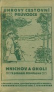
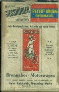
Nákladem Josefa Uhra, Závodu pro mezinárodní dopravu, Praha 1912. It does not contain Munich's plan.